
![In Memoriam: Jeff Dozier [1944–2024]](https://assets.science.nasa.gov/dynamicimage/assets/science/esd/earth-observer/2025/2025-in-memoriam/InMemoriam-Dozier1.jpg)
![In Memoriam: Berrien Moore III [1941–2024]](https://assets.science.nasa.gov/dynamicimage/assets/science/esd/earth-observer/2025/2025-in-memoriam/InMemoriam-Moore..jpg)


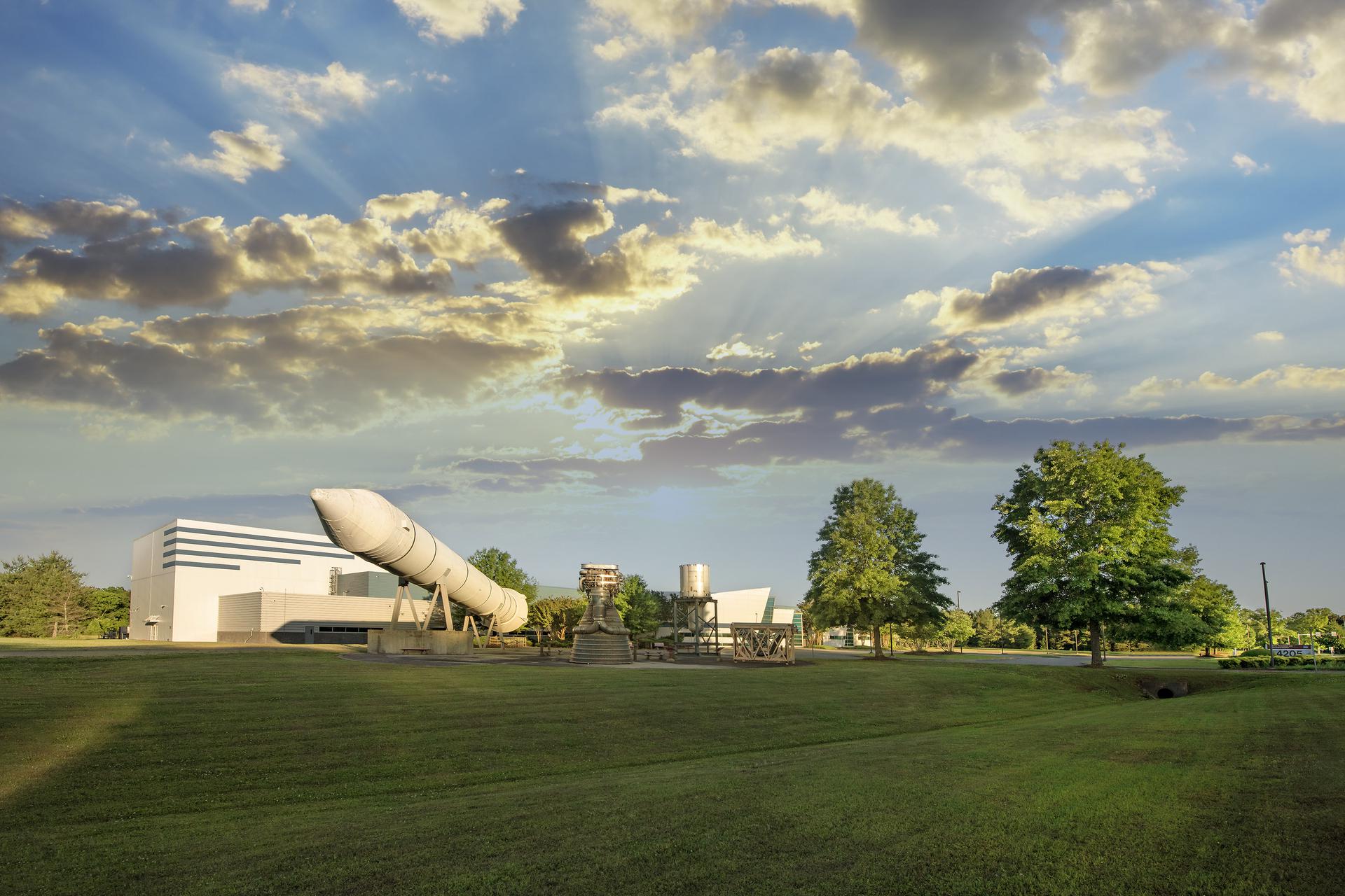
Marshall Science Research and Projects Division
Our Vision: Science research and technology development to improve the world around us and explain the Universe beyond us.


Marshall Science on the Move
Marshall Science on the Move


Marshall Science Branches

Pease contact Elizabeth Blackwell at wendy.e.blackwell@nasa.gov for any website inquiry.